As trees fall, doubts raised in historic LR
Central High’s neighbors wary of landscape change

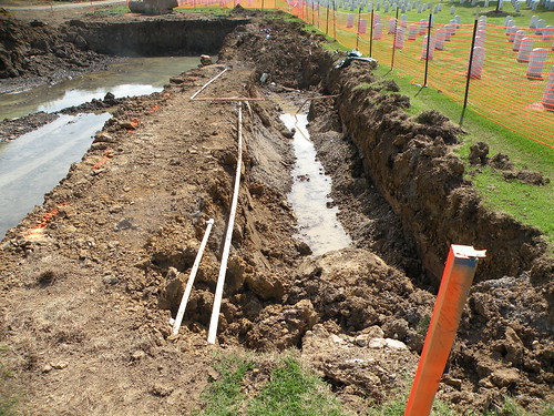
Photo by Rick McFarland
Little Rock police officers were called to the corner of West 12th and Park streets Thursday in Little Rock, and city officials showed up to stop more trees from being cut down. Some area residents called to complain about the trees being cut.
ADVERTISEMENT

LITTLE ROCK — Some property owners near Central High School aren’t happy with how Little Rock handled the first test of new development rules meant to preserve the older neighborhood’s character.
Their frustrations reached a new level Thursday when they learned that city planners bypassed the urban forester, who is supposed to review plans to cut down any tree larger than 14 inches in diameter in the new Central High Design Overlay District.
Residents are also upset that two new duplexes and a home being built at 12th and Park streets by the Little Rock Housing Authoritywere designed closer to the street than three existing houses that share the block.
“This is the first of many developments that’s going to take place in our neighborhood using public money and this is really the first test of how well the city works with our Design Overlay District,” said Ethel Ambrose, president of the Central High Neighborhood Association. “We hope that the problems that we’ve encountered here will help us to ensure that we don’t have these kinds of problems with the future developments.”
Little Rock has targeted the Central High School neighborhood for redevelopment efforts by its Land BankCommission. The neighborhood will also benefit from an $8.6 million federal stimulus grant the city received to rehabilitate older homes and build new homes in the area.
With the renewed interest in the neighborhood, Little Rock passed Design Overlay District rules in October that dictate roof pitches on new homes, require front porches and rear parking and call for preserving trees over 14 inches in diameter. Residents worked on the rules for years to preserve the older neighborhood, which doubles as a tourist attraction to people visiting the Central High School National Historic Site museum.
Residents complained to city directors recently that they didn’t like the plans for public housing in the neighborhood or the additional traffic it would cause.
On Thursday, Gary Iverson told workers who showed up to the corner lot at 12th and Park streets that he wouldn’t let them continue cutting down trees. Iverson doesn’t live in the neighborhood, but has kept an eye on the progress as he drove to the properties he owns in the area.
“I’m just real passionate about them not cutting those trees,” he said.
How many trees they already cut down wasn’t known, but Iverson said he thought the five remaining trees were several hundred years old.
As Iverson called to get City Manager Bruce Moore to step in and stop the cutting, the workers called the police.
Officers showed up but didn’t take any action, police records show.
Moore also showed up, along with Housing Authority Director Shelly Ehenger. Ehenger didn’t return two messages left for her at her office seeking comment Thursday, but Moore said the three worked out a compromise - the housing authority would bring new plans to city directors on Tuesday to review that included saving additional trees and building the homes farther back from the road.
Although the placement of the homes would meet the district’s setback rules of 15feet, the buildings would be closer to the street than the three existing houses that share the block.
That doesn’t fit in with the neighborhood, Iverson said, no matter what the rules say.
Residents were also upset that the city’s urban forester wasn’t consulted.
The district’s rules state that any tree over 14 inches in diameter shall be preserved unless the city’s urban forester gives his permission to take it down.
Although a city write-up sent to city directors about the project said there weren’t any trees on the property wider than 14 inches in diameter, the remains of a tree stump on the property and the five standing trees were clearly more than 14 inches in diameter.
Dana Carney, the city’s zoning and subdivisions manager, said the write-up is wrong and that the housing authority knew there were bigger trees and had plans to keep three of them. A fourth tree would be cut under the original plans because it would be in the way of a porch.
Carney said the planning department never ran the site plans by the urban forester because the project had the extra scrutiny of planning commissioners and city directors.
The city uses the planned residential development zoning process when a project doesn’t meet specific planning regulations. The project tripped the special zoning process because the authority wanted to build three structures on one lot.oing beyond the simple application of the Design Overlay District rules takes the project out of the realm of the urban forester, Carney said.
But under that scenario, the urban forester would never be consulted abouttree removal when projects require variances from planning regulations.
“I think I need to delve into that a little more,” Moore said, adding that the ordinance might be tweaked. “I think that raised a point I’m not sure we had thought about.”
Mayor Mark Stodola, who has assured residents repeatedly that the city intends to develop new houses in character with the older neighborhood, said the urban forester should have been consulted.
Stodola said he believes the housing authority project still meets the spirit of the design overlay district. He met with housing authority officials and architects to ensure the homes would fit in architecturally with the neighborhood.
“I’m convinced the properties they are doing are going to be complements to the neighborhood,” he said.
This article was published today at 3:24 a.m.